
Thank you for supporting this site ❤️
Make a donation
Make a donation
Purbeck topographic map
Click on the map to display elevation.
Thank you for supporting this site ❤️
Make a donation
Make a donation
About this map
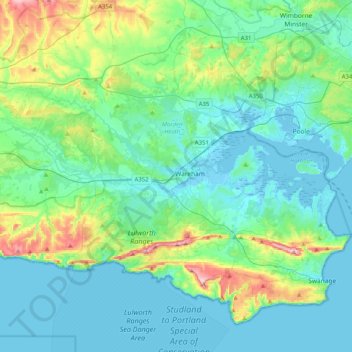
Name: Purbeck topographic map, elevation, terrain.
Location: Purbeck, Dorset, England, United Kingdom (50.57650 -2.32839 50.79301 -1.92227)
Average elevation: 38 m
Minimum elevation: -4 m
Maximum elevation: 200 m
Thank you for supporting this site ❤️
Make a donation
Make a donation