
Kleine Dommel topographic map
Interactive map
Click on the map to display elevation.
About this map
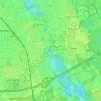
Name: Kleine Dommel topographic map, elevation, terrain.
Average elevation: 22 m
Minimum elevation: 13 m
Maximum elevation: 26 m
Other topographic maps
Click on a map to view its topography, its elevation and its terrain.
Kasteel Geldrop
Nederland > Noord-Brabant > Geldrop-Mierlo
Kasteel Geldrop, Mierloseweg, Braakhuizen-Zuid, Geldrop, Geldrop-Mierlo, Noord-Brabant, Nederland, 5666, Nederland
Average elevation: 21 m