
U-dong topographic map
Interactive map
Click on the map to display elevation.
About this map
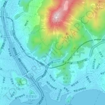
Name: U-dong topographic map, elevation, terrain.
Location: U-dong, Haeundae-gu, Busan, South Korea (35.15180 129.12145 35.20162 129.16661)
Average elevation: 109 m
Minimum elevation: -5 m
Maximum elevation: 617 m