
Gottignies topographic map
Interactive map
Click on the map to display elevation.
About this map
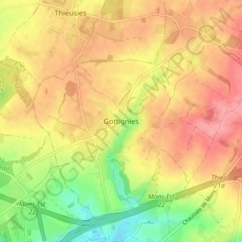
Name: Gottignies topographic map, elevation, terrain.
Location: Gottignies, Le Rœulx, Hennegau, Wallonien, 7070, Belgien (50.47719 4.04221 50.51719 4.08221)
Average elevation: 101 m
Minimum elevation: 48 m
Maximum elevation: 139 m