
Girna topographic map
Interactive map
Click on the map to display elevation.
About this map
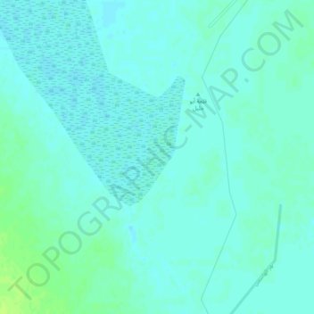
Name: Girna topographic map, elevation, terrain.
Location: Girna, Najaf, Iraq (31.76322 44.38175 31.80322 44.42175)
Average elevation: 20 m
Minimum elevation: 16 m
Maximum elevation: 28 m