
Dunka topographic map
Interactive map
Click on the map to display elevation.
About this map
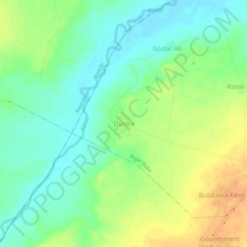
Name: Dunka topographic map, elevation, terrain.
Location: Dunka, Rigar Duka, Kura, Kano, Nigeria (11.78490 8.39124 11.82490 8.43124)
Average elevation: 454 m
Minimum elevation: 438 m
Maximum elevation: 474 m