
Fatuha topographic map
Interactive map
Click on the map to display elevation.
About this map
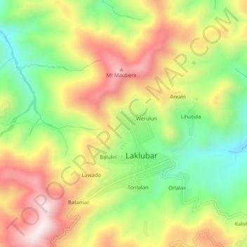
Name: Fatuha topographic map, elevation, terrain.
Location: Fatuha, Manatuto, East Timor (-8.76060 125.88739 -8.72060 125.92739)
Average elevation: 1,165 m
Minimum elevation: 868 m
Maximum elevation: 1,485 m