
Mont Otis topographic map
Interactive map
Click on the map to display elevation.
About this map
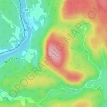
Name: Mont Otis topographic map, elevation, terrain.
Average elevation: 218 m
Minimum elevation: 144 m
Maximum elevation: 324 m
Other topographic maps
Click on a map to view its topography, its elevation and its terrain.
Lac Goulet
Canada > Quebec > Notre-Dame-de-Montauban
Lac Goulet, Chemin du Lac du Castor, Notre-Dame-de-Montauban, Mékinac, Mauricie, Quebec, G0A 4L0, Canada
Average elevation: 236 m