
Thank you for supporting this site ❤️
Make a donation
Make a donation
Khoi topographic map
Click on the map to display elevation.
Thank you for supporting this site ❤️
Make a donation
Make a donation
About this map
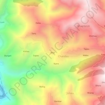
Name: Khoi topographic map, elevation, terrain.
Location: Khoi, Chandau, Kalsi, Dehradun, Uttarakhand, 248165, India (30.61018 77.79760 30.65018 77.83760)
Average elevation: 1,338 m
Minimum elevation: 647 m
Maximum elevation: 1,867 m
Thank you for supporting this site ❤️
Make a donation
Make a donation