
Gashaka topographic map
Interactive map
Click on the map to display elevation.
About this map
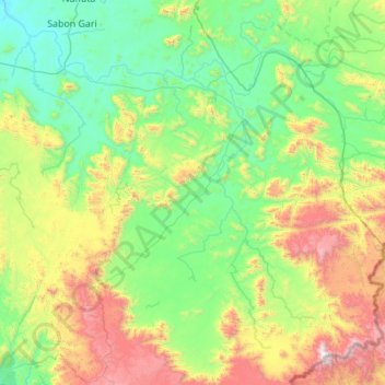
Name: Gashaka topographic map, elevation, terrain.
Location: Gashaka, Taraba, Nigeria (6.99068 10.78906 8.02403 11.88615)
Average elevation: 666 m
Minimum elevation: 142 m
Maximum elevation: 2,405 m
Other topographic maps
Click on a map to view its topography, its elevation and its terrain.