
Thank you for supporting this site ❤️
Make a donation
Make a donation
Banda topographic map
Click on the map to display elevation.
Thank you for supporting this site ❤️
Make a donation
Make a donation
About this map
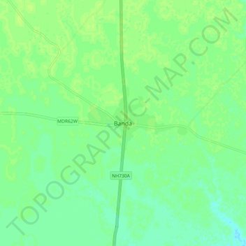
Name: Banda topographic map, elevation, terrain.
Location: Banda, Powayan, Shahjahanpur, Uttar Pradesh, 242402, India (28.20066 80.06762 28.28066 80.14762)
Average elevation: 169 m
Minimum elevation: 162 m
Maximum elevation: 172 m
Thank you for supporting this site ❤️
Make a donation
Make a donation