
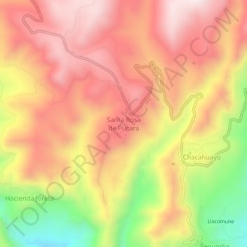
Santa Rosa de Pucara topographic map
Interactive map
Click on the map to display elevation.
About this map
Name: Santa Rosa de Pucara topographic map, elevation, terrain.
Average elevation: 3,394 m
Minimum elevation: 2,970 m
Maximum elevation: 3,667 m