
Fuhrberg topographic map
Interactive map
Click on the map to display elevation.
About this map
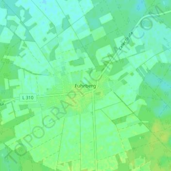
Name: Fuhrberg topographic map, elevation, terrain.
Location: Fuhrberg, Burgwedel, Region Hannover, Niedersachsen, Deutschland (52.54630 9.83039 52.58630 9.87039)
Average elevation: 40 m
Minimum elevation: 35 m
Maximum elevation: 46 m
Other topographic maps
Click on a map to view its topography, its elevation and its terrain.
Wettmar
Deutschland > Niedersachsen > Region Hannover > Burgwedel
Wettmar, Burgwedel, Region Hannover, Niedersachsen, 30938, Deutschland
Average elevation: 55 m