
Totebo topographic map
Interactive map
Click on the map to display elevation.
About this map
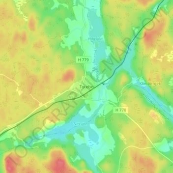
Name: Totebo topographic map, elevation, terrain.
Location: Totebo, Västerviks kommun, Provinz Kalmar, 590 92, Schweden (57.61086 16.16663 57.65086 16.20663)
Average elevation: 90 m
Minimum elevation: 60 m
Maximum elevation: 125 m