
Chatri topographic map
Click on the map to display elevation.
About this map
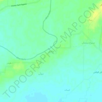
Name: Chatri topographic map, elevation, terrain.
Location: Chatri, Shakargarh Tehsil, Punjab, Pakistan (32.21018 75.16034 32.25018 75.20034)
Average elevation: 259 m
Minimum elevation: 252 m
Maximum elevation: 270 m