
Haldenstein topographic map
Interactive map
Click on the map to display elevation.
About this map
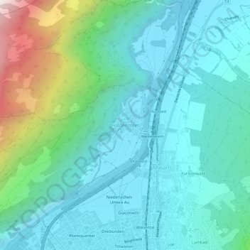
Name: Haldenstein topographic map, elevation, terrain.
Location: Haldenstein, Coire, Plessur, Grisons, 7023, Suisse (46.85801 9.50674 46.89801 9.54674)
Average elevation: 826 m
Minimum elevation: 534 m
Maximum elevation: 1,984 m