
Mastrils topographic map
Interactive map
Click on the map to display elevation.
About this map
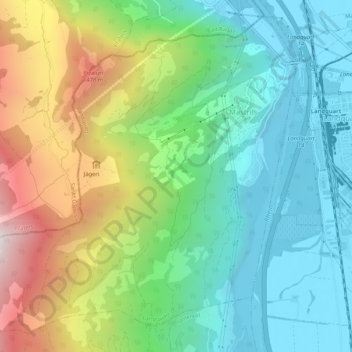
Name: Mastrils topographic map, elevation, terrain.
Location: Mastrils, Landquart, Graubünden, 7303, Schweiz (46.94421 9.49835 46.97657 9.55018)
Average elevation: 749 m
Minimum elevation: 508 m
Maximum elevation: 1,441 m