
Île Bouchard topographic map
Interactive map
Click on the map to display elevation.
About this map
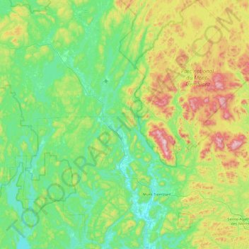
Name: Île Bouchard topographic map, elevation, terrain.
Average elevation: 372 m
Minimum elevation: 186 m
Maximum elevation: 924 m
Other topographic maps
Click on a map to view its topography, its elevation and its terrain.
Lac Chaudefond
Canada > Québec > Les Laurentides > Labelle
Lac Chaudefond, Labelle, Les Laurentides, Laurentides, Québec, Canada
Average elevation: 280 m