
Puigverd de Lleida topographic map
Interactive map
Click on the map to display elevation.
About this map
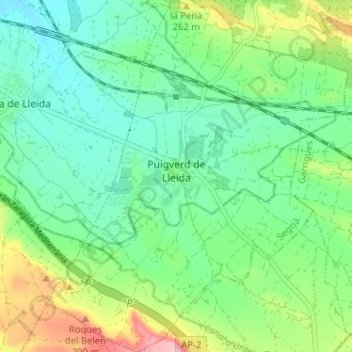
Name: Puigverd de Lleida topographic map, elevation, terrain.
Location: Puigverd de Lleida, Segriá, Lérida, Cataluña, 25153, España (41.51883 0.70984 41.56681 0.76470)
Average elevation: 223 m
Minimum elevation: 179 m
Maximum elevation: 325 m
Other topographic maps
Click on a map to view its topography, its elevation and its terrain.