
Thank you for supporting this site ❤️
Make a donation
Make a donation
Hinch topographic map
Click on the map to display elevation.
Thank you for supporting this site ❤️
Make a donation
Make a donation
About this map
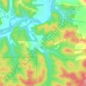
Name: Hinch topographic map, elevation, terrain.
Location: Hinch, Crawford County, Missouri, United States (38.04282 -91.17542 38.08282 -91.13542)
Average elevation: 235 m
Minimum elevation: 185 m
Maximum elevation: 308 m
Thank you for supporting this site ❤️
Make a donation
Make a donation
Other topographic maps
Click on a map to view its topography, its elevation and its terrain.