
Thank you for supporting this site ❤️
Make a donation
Make a donation
Chu River topographic map
Click on the map to display elevation.
Thank you for supporting this site ❤️
Make a donation
Make a donation
About this map
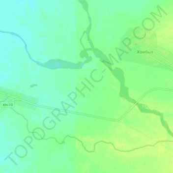
Name: Chu River topographic map, elevation, terrain.
Location: Chu River, Moyınqum District, Jambyl Region, Kazakhstan (44.26211 72.96422 44.30062 73.04883)
Average elevation: 353 m
Minimum elevation: 347 m
Maximum elevation: 360 m
Thank you for supporting this site ❤️
Make a donation
Make a donation