Neuhäusl topographic map
Interactive map
Click on the map to display elevation.
About this map
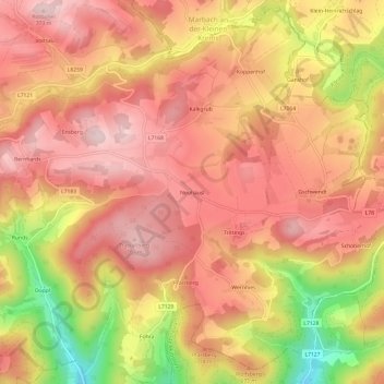
Name: Neuhäusl topographic map, elevation, terrain.
Average elevation: 668 m
Minimum elevation: 477 m
Maximum elevation: 766 m

Click on the map to display elevation.
Name: Neuhäusl topographic map, elevation, terrain.
Average elevation: 668 m
Minimum elevation: 477 m
Maximum elevation: 766 m