
Silakkapatti topographic map
Interactive map
Click on the map to display elevation.
About this map
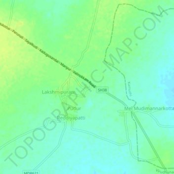
Name: Silakkapatti topographic map, elevation, terrain.
Average elevation: 73 m
Minimum elevation: 66 m
Maximum elevation: 81 m
Other topographic maps
Click on a map to view its topography, its elevation and its terrain.
Palavanatham
India > Tamil Nadu > Aruppukkottai > Palavanatham
Palavanatham, Aruppukkottai, Virudhunagar District, Tamil Nadu, 626004, India
Average elevation: 96 m