
Niemisel topographic map
Interactive map
Click on the map to display elevation.
About this map
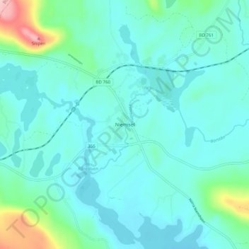
Name: Niemisel topographic map, elevation, terrain.
Location: Niemisel, Luleå kommun, Comté de Norrbotten, Suède (65.99920 21.96839 66.03920 22.00839)
Average elevation: 36 m
Minimum elevation: 10 m
Maximum elevation: 170 m
Other topographic maps
Click on a map to view its topography, its elevation and its terrain.
Gällivare kommun
Gällivare kommun, Comté de Norrbotten, Suède
Average elevation: 486 m
Luleå
Luleå, Luleå kommun, Comté de Norrbotten, 971 28, Suède
Average elevation: 11 m