
Mooslandl topographic map
Interactive map
Click on the map to display elevation.
About this map
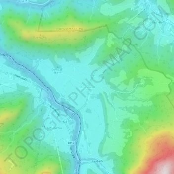
Name: Mooslandl topographic map, elevation, terrain.
Location: Mooslandl, Landl, Bezirk Liezen, Stiermarken, 8931, Oostenrijk (47.63299 14.74328 47.67299 14.78328)
Average elevation: 645 m
Minimum elevation: 458 m
Maximum elevation: 1,285 m
Other topographic maps
Click on a map to view its topography, its elevation and its terrain.
Gams bei Hieflau
Oostenrijk > Stiermarken > Bezirk Liezen > Landl
Gams bei Hieflau, Landl, Bezirk Liezen, Stiermarken, 8922, Oostenrijk
Average elevation: 983 m