
Mahua Dol Earthen Dam Hanumanji Shiv Ganga topographic map
Interactive map
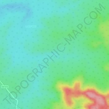
Click on the map to display elevation.
About this map
Name: Mahua Dol Earthen Dam Hanumanji Shiv Ganga topographic map, elevation, terrain.
Average elevation: 506 m
Minimum elevation: 469 m
Maximum elevation: 601 m