
thaplialgaon topographic map
Interactive map
Click on the map to display elevation.
About this map
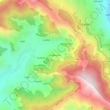
Name: thaplialgaon topographic map, elevation, terrain.
Location: thaplialgaon, Pauri, Pauri Garhwal, Uttarakhand, 246001, India (30.11681 78.74333 30.15681 78.78333)
Average elevation: 1,634 m
Minimum elevation: 1,217 m
Maximum elevation: 2,122 m
Other topographic maps
Click on a map to view its topography, its elevation and its terrain.