
Grafenwald topographic map
Interactive map
Click on the map to display elevation.
About this map
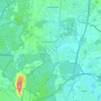
Name: Grafenwald topographic map, elevation, terrain.
Location: Grafenwald, Bottrop, Nordrhein-Westfalen, Deutschland (51.55222 6.83726 51.58874 6.93138)
Average elevation: 57 m
Minimum elevation: 34 m
Maximum elevation: 170 m