Titapura Bolivar topographic map
Interactive map
Click on the map to display elevation.
About this map
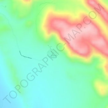
Name: Titapura Bolivar topographic map, elevation, terrain.
Average elevation: 3,900 m
Minimum elevation: 3,813 m
Maximum elevation: 4,037 m

Click on the map to display elevation.
Name: Titapura Bolivar topographic map, elevation, terrain.
Average elevation: 3,900 m
Minimum elevation: 3,813 m
Maximum elevation: 4,037 m