
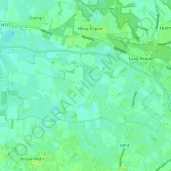
Laag-Keppel topographic map
Interactive map
Click on the map to display elevation.
About this map
Name: Laag-Keppel topographic map, elevation, terrain.
Location: Laag-Keppel, Bronckhorst, Geldern, Niederlande (51.97621 6.15925 52.00238 6.23669)
Average elevation: 11 m
Minimum elevation: 7 m
Maximum elevation: 16 m
Other topographic maps
Click on a map to view its topography, its elevation and its terrain.
Bronkhorst
Niederlande > Geldern > Bronckhorst
Bronkhorst, Bronckhorst, Geldern, Niederlande
Average elevation: 8 m
Bronckhorst
Niederlande > Geldern > Bronckhorst
Bronckhorst, Geldern, Niederlande
Average elevation: 13 m