
Susa topographic map
Interactive map
Click on the map to display elevation.
About this map
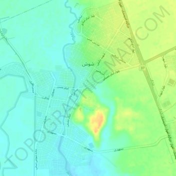
Name: Susa topographic map, elevation, terrain.
Location: Susa, بخش مرکزی, شهرستان شوش, Provinz Chusistan, 64718, Iran (32.17572 48.22243 32.21418 48.26273)
Average elevation: 78 m
Minimum elevation: 67 m
Maximum elevation: 95 m