
Bârsana topographic map
Interactive map
Click on the map to display elevation.
About this map
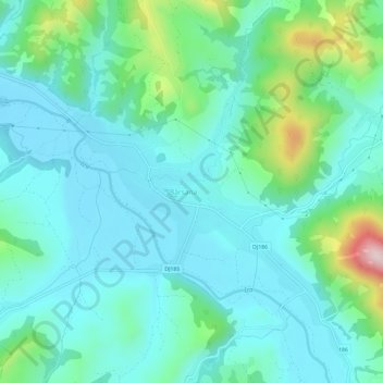
Name: Bârsana topographic map, elevation, terrain.
Location: Bârsana, Maramureș, 437035, Romania (47.79686 24.03902 47.83686 24.07902)
Average elevation: 375 m
Minimum elevation: 301 m
Maximum elevation: 670 m