
Cherry Hill topographic map
Interactive map
Click on the map to display elevation.
About this map
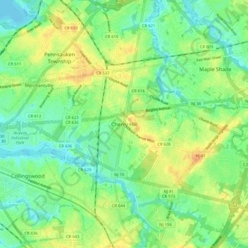
Name: Cherry Hill topographic map, elevation, terrain.
Location: Cherry Hill, Camden County, New Jersey, 08002, USA (39.89484 -75.07073 39.97484 -74.99073)
Average elevation: 14 m
Minimum elevation: 0 m
Maximum elevation: 33 m