
Shettigere topographic map
Interactive map
Click on the map to display elevation.
About this map
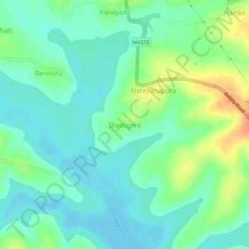
Name: Shettigere topographic map, elevation, terrain.
Location: Shettigere, Beluru taluk, Hassan District, Karnataka, India (13.19510 75.83491 13.23510 75.87491)
Average elevation: 972 m
Minimum elevation: 957 m
Maximum elevation: 1,004 m