
Kashipur topographic map
Interactive map
Click on the map to display elevation.
About this map
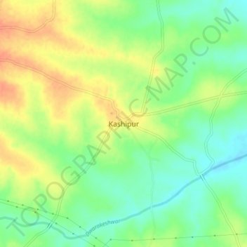
Name: Kashipur topographic map, elevation, terrain.
Location: Kashipur, Puruliya, West Bengal, India (23.41392 86.64689 23.45392 86.68689)
Average elevation: 167 m
Minimum elevation: 146 m
Maximum elevation: 190 m