
Sungai Langat topographic map
Interactive map
Click on the map to display elevation.
About this map
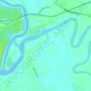
Name: Sungai Langat topographic map, elevation, terrain.
Location: Sungai Langat, Klang, Selangor, 42600, Malásia (2.86694 101.44217 2.89059 101.48210)
Average elevation: 4 m
Minimum elevation: -6 m
Maximum elevation: 12 m