
Fortanete topographic map
Interactive map
Click on the map to display elevation.
About this map
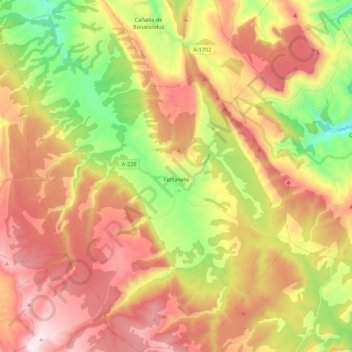
Name: Fortanete topographic map, elevation, terrain.
Location: Fortanete, Maestrazgo, Teruel, Aragonien, Spanien (40.42376 -0.63023 40.58997 -0.45039)
Average elevation: 1,557 m
Minimum elevation: 1,125 m
Maximum elevation: 1,971 m