
Río Yera topographic map
Interactive map
Click on the map to display elevation.
About this map
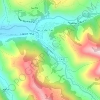
Name: Río Yera topographic map, elevation, terrain.
Average elevation: 482 m
Minimum elevation: 320 m
Maximum elevation: 745 m
Other topographic maps
Click on a map to view its topography, its elevation and its terrain.
Pandillo
España > Cantabria > Vega de Pas
Pandillo, Vega de Pas, Cantabria, 39685, España
Average elevation: 797 m