
Gloster topographic map
Interactive map
Click on the map to display elevation.
About this map
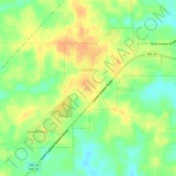
Name: Gloster topographic map, elevation, terrain.
Location: Gloster, Amite County, Mississippi, United States of America (31.18048 -91.04035 31.20638 -90.99614)
Average elevation: 119 m
Minimum elevation: 100 m
Maximum elevation: 137 m