
Umalla topographic map
Interactive map
Click on the map to display elevation.
About this map
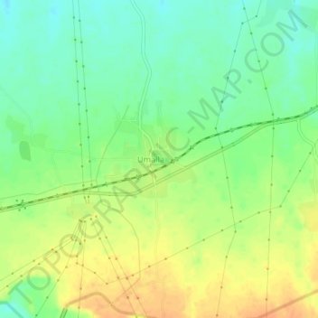
Name: Umalla topographic map, elevation, terrain.
Location: Umalla, Jhagadiya Taluka, Bharuch District, Gujarat, India (21.77440 73.28038 21.81440 73.32038)
Average elevation: 52 m
Minimum elevation: 35 m
Maximum elevation: 70 m