
Nizampur topographic map
Interactive map
Click on the map to display elevation.
About this map
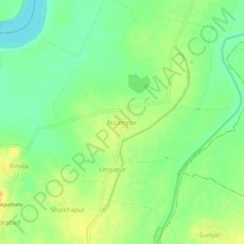
Name: Nizampur topographic map, elevation, terrain.
Location: Nizampur, Navipet mandal, Nizamabad, Telangana, India (18.84040 78.03319 18.88040 78.07319)
Average elevation: 341 m
Minimum elevation: 326 m
Maximum elevation: 357 m