
Poza Azul topographic map
Interactive map
Click on the map to display elevation.
About this map
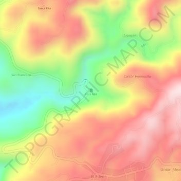
Name: Poza Azul topographic map, elevation, terrain.
Location: Poza Azul, Tapachula, Chiapas, México (15.07282 -92.30188 15.07292 -92.30178)
Average elevation: 478 m
Minimum elevation: 254 m
Maximum elevation: 633 m