
Thank you for supporting this site ❤️
Make a donation
Make a donation
Gajano topographic map
Click on the map to display elevation.
Thank you for supporting this site ❤️
Make a donation
Make a donation
About this map
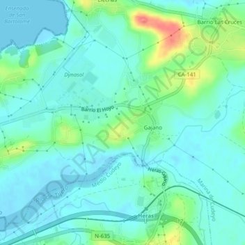
Name: Gajano topographic map, elevation, terrain.
Location: Gajano, Trasmiera, Cantabria, Cantabrie, 39792, Espagne (43.40001 -3.79103 43.42164 -3.75281)
Average elevation: 14 m
Minimum elevation: -1 m
Maximum elevation: 62 m
Thank you for supporting this site ❤️
Make a donation
Make a donation
Other topographic maps
Click on a map to view its topography, its elevation and its terrain.