
Orange topographic map
Click on the map to display elevation.
About this map
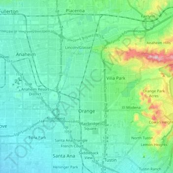
Name: Orange topographic map, elevation, terrain.
Location: Orange, Orange County, California, United States (33.76809 -117.90474 33.84718 -117.72977)
Average elevation: 77 m
Minimum elevation: 18 m
Maximum elevation: 341 m
Other topographic maps
Click on a map to view its topography, its elevation and its terrain.