
Thank you for supporting this site ❤️
Make a donation
Make a donation
Du Già topographic map
Click on the map to display elevation.
Thank you for supporting this site ❤️
Make a donation
Make a donation
About this map
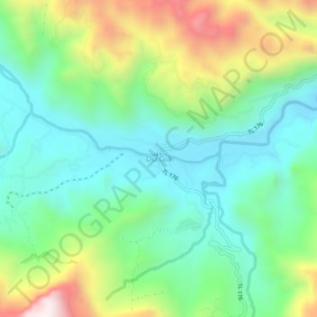
Name: Du Già topographic map, elevation, terrain.
Location: Du Già, Yên Minh District, Hà Giang Province, 20318, Vietnam (22.91117 105.20291 22.95117 105.24291)
Average elevation: 655 m
Minimum elevation: 375 m
Maximum elevation: 1,257 m
Thank you for supporting this site ❤️
Make a donation
Make a donation