Point d’eau du Leuzeu topographic map
Interactive map
Click on the map to display elevation.
About this map
Name: Point d’eau du Leuzeu topographic map, elevation, terrain.
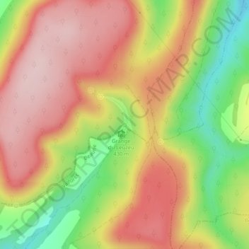
Average elevation: 491 m
Minimum elevation: 342 m
Maximum elevation: 600 m

Click on the map to display elevation.
Name: Point d’eau du Leuzeu topographic map, elevation, terrain.
Average elevation: 491 m
Minimum elevation: 342 m
Maximum elevation: 600 m