
Dannau topographic map
Interactive map
Click on the map to display elevation.
About this map
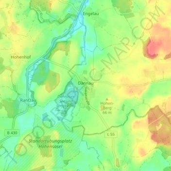
Name: Dannau topographic map, elevation, terrain.
Location: Dannau, Lütjenburg, Plön, Sleeswijk-Holstein, Duitsland (54.22777 10.53064 54.25352 10.60652)
Average elevation: 42 m
Minimum elevation: 14 m
Maximum elevation: 79 m