
Jauca II topographic map
Interactive map
Click on the map to display elevation.
About this map
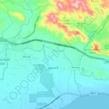
Name: Jauca II topographic map, elevation, terrain.
Location: Jauca II, Santa Isabel, Puerto Rico, United States (17.96844 -66.39282 18.04017 -66.33114)
Average elevation: 69 m
Minimum elevation: -2 m
Maximum elevation: 344 m