
Salmon topographic map
Interactive map
Click on the map to display elevation.
About this map
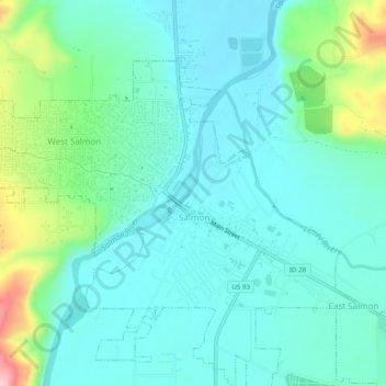
Name: Salmon topographic map, elevation, terrain.
Location: Salmon, Lemhi County, Idaho, 83467, États-Unis d'Amérique (45.16642 -113.92471 45.18971 -113.87578)
Average elevation: 1,230 m
Minimum elevation: 1,188 m
Maximum elevation: 1,381 m