
Pierce County topographic map
Click on the map to display elevation.
About this map
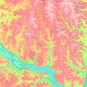
Name: Pierce County topographic map, elevation, terrain.
Location: Pierce County, Wisconsin, United States (44.53941 -92.80751 44.86268 -92.13488)
Average elevation: 308 m
Minimum elevation: 199 m
Maximum elevation: 392 m
Other topographic maps
Click on a map to view its topography, its elevation and its terrain.
Kalahari Indoor Waterpark
United States > Wisconsin > Sauk County > Wisconsin Dells
Average elevation: 290 m